GeoreferenceImage is a standalone utility program which can create world files or .gcp (ground control point) files for images. It supercedes the georeference_image module. The .gcp files are compatible with ArcGIS image link files, but use a .gcp extension (ArcGIS defaults to .txt extension instead of .gcp, but these are compatible). GeoreferenceImage will allow you to view total root mean squared error given the number of Ground Control Points you have and the selected texture_map mapping option. This standalone utility can be run with a single button click from Read_Image or by running from the tools folder in the C Tech program group.
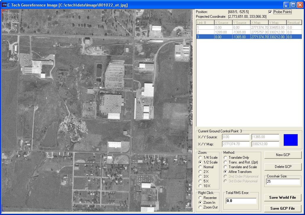
When you run Georeference Image from the tools folder in the C Tech program group it will initially prompt you for an image to open. If run from Read_Image, it will open the image already selected in Read_Image. The example shown below uses the image 801022_ot.jpg which has a corresponding world file 801022_ot.jpw. Georeference Image automatically reads the world file and creates three ground control points (GCPs) as shown in the figure below.

If you have additional ground truth data, you can add additional GCPs to enhance the accuracy of the image projection.
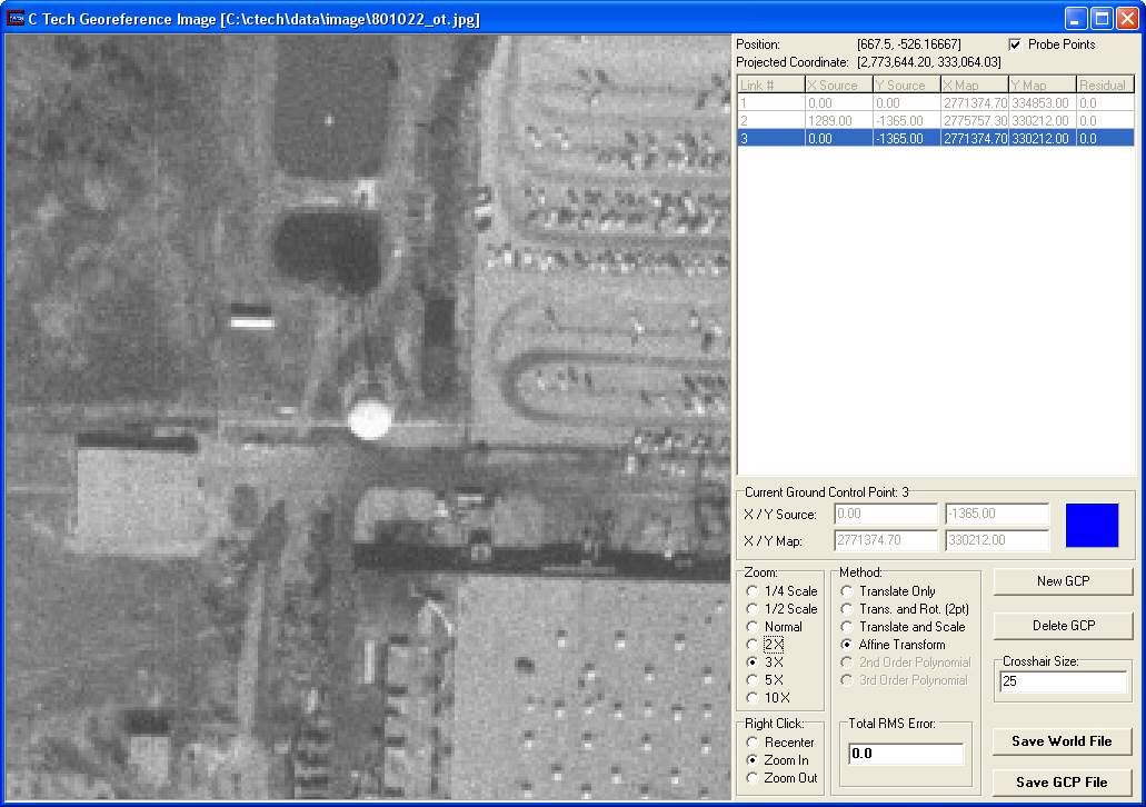
When initialized with a world file, you can use Georeference Image to determine the x-y coordinates of any point on the image. By zooming in on the image (as shown below) it is possible to get accurate coordinates of individual pixels.

© 1994-2018 ctech.com